Over 94% more people are now trusting their outdoor adventures to a single app. The OS Maps application has exploded in popularity among UK walkers, hikers, cyclists, and runners—and for good reason. With seven consecutive Walkers' App of the Year awards under its belt, this digital navigation solution has become the go-to choice for anyone serious about exploring Britain's landscapes safely and confidently.
Ordnance Survey, the UK's national mapping authority, created this app to bring professional-grade cartography directly to your smartphone. Rather than juggling multiple paper maps or relying on generic GPS tools, outdoor enthusiasts now have access to the same detailed Explorer and Landranger maps that have guided British explorers for generations.
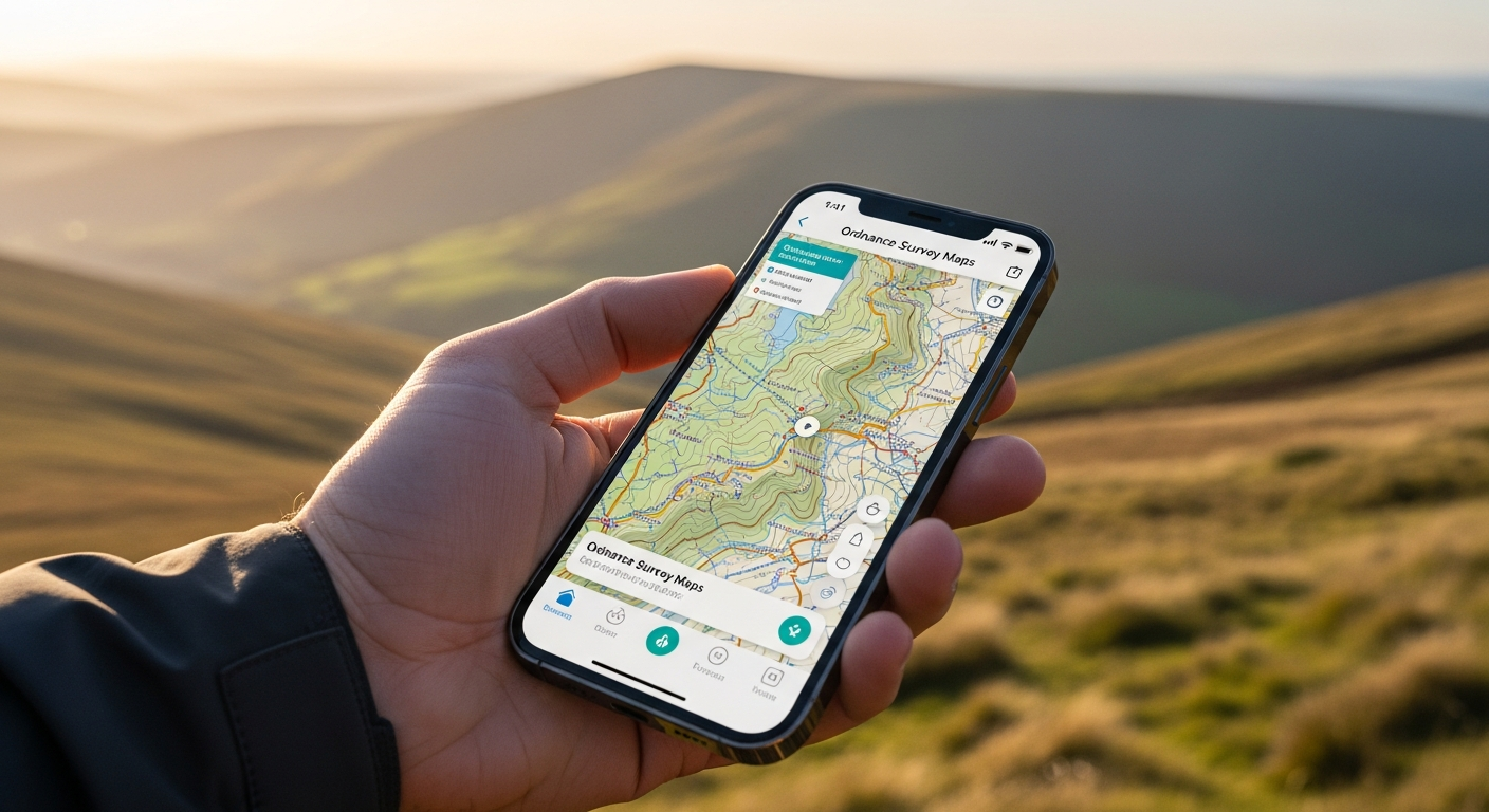
Discover why the OS Maps app has become the nation's trusted outdoor navigation solution.
Why the OS Maps App Dominates UK Outdoor Navigation
Britain's most trusted mapping source comes directly to your pocket through this innovative platform. Ordnance Survey's 200+ year heritage of accuracy and precision forms the foundation of every route you navigate, every contour you study, and every path you discover.
The consistent recognition as the number one app choice for walkers and outdoor enthusiasts speaks volumes about real-world performance. Across fell walkers, casual strollers, and serious expedition planners, the feedback remains remarkably consistent: this app simply works. The 94% growth in active subscriptions demonstrates widespread adoption and trust, with users across the UK making the switch from traditional paper maps to this comprehensive digital alternative.
Unlimited Map Access: What You Get With Your Subscription
Your subscription grants complete access to every OS Explorer map covering all of Great Britain, plus the full OS Landranger map library for broader regional navigation. This isn't a limited selection or a pared-down version of the official maps—you're getting the same highly detailed topographical data showing contours, terrain features, and elevation changes that Ordnance Survey produces for their premium paper editions.
Regular map updates ensure you're always working with current information reflecting new paths, closures, and landscape changes. When a new bridleway opens or a route becomes inaccessible, you'll know about it through automatic updates to your app.
Offline Navigation: Your Safety Net in Remote Areas
The ability to download entire map regions before heading into areas with no phone signal transforms this from a convenience tool into a genuine safety asset. This critical feature separates serious outdoor navigation apps from casual GPS solutions. When you're planning a backcountry hiking expedition or remote fell walking adventure, knowing that full navigation functionality remains operational without any internet connection provides peace of mind that's difficult to overstate.
Plan your routes at home with complete map context, download everything you'll need, and head into the wilderness confident that your phone contains all the information necessary to navigate safely. No reliance on cellular coverage, no anxiety about roaming charges in remote valleys—just you, the map, and the landscape.
Route Planning and Creation Tools
The intuitive route creation interface makes building custom walking and cycling paths straightforward, whether you're planning a challenging fell route or a leisurely countryside ramble. The snap to path feature automatically aligns your drawn routes to existing trails, removing the frustration of manually tracing paths that don't quite match up with real-world terrain.
Record your actual routes in real-time using the app's tracking functionality, then save unlimited routes for future reference and repeated adventures. This means you can explore new terrain experimentally, capture the journey, and instantly create a reference map for returning to the same route or sharing with fellow outdoor enthusiasts.
Community Features and Route Discovery
Access thousands of user-shared routes from fellow UK outdoor enthusiasts, browse popular walks, runs, and cycling routes in your chosen region, and learn about hidden gems and lesser-known trails through community recommendations. The collective knowledge base of British outdoor explorers becomes accessible with a few taps on your screen.
Share your own routes and contribute to this growing library, helping other adventurers discover the landscapes you love. Whether it's a spectacular ridge walk you've perfected over years or a newly discovered circuit through woodland paths, your contributions become part of the wider navigation ecosystem.
Subscription Model and Value Assessment
The annual subscription pricing structure offers straightforward payment options without hidden complications. The cost becomes justified almost immediately when you consider unlimited map access across all of Great Britain—significantly cheaper than purchasing equivalent paper map collections that would require constant updating and occupy considerable physical space.
Get started with your OS Maps subscription and explore Britain's landscapes with confidence.
No hidden fees or additional charges lurk in the pricing structure—what you see is what you pay for a year of comprehensive navigation access.
Real-World Performance: Strengths and Limitations
Exceptional reliability in identifying correct paths and avoiding navigation errors forms the foundation of this app's reputation. Maps remain accurate even in areas where commercial GPS services falter, a direct result of Ordnance Survey's meticulous surveying standards and institutional expertise.
The lightweight app design doesn't consume excessive device storage, keeping your phone responsive even on older hardware. However, battery drain can be significant during extended outdoor sessions, particularly when using real-time route tracking or when your phone's screen remains active throughout the day. Some users report occasional glitches or unintuitive interface elements, though these are rare enough not to significantly detract from the overall experience.
Best Use Cases: Who Benefits Most From OS Maps
Serious walkers tackling multi-day treks across British landscapes find this app indispensable for route planning and navigation. Trail runners training on varied terrain with elevation challenges benefit from detailed topographical data showing every climb and descent. Cyclists planning long-distance routes through countryside and national parks gain access to information about terrain difficulty and elevation profiles that generic GPS apps simply cannot provide.
Fell walkers navigating moorland and mountain environments rely on the precision of Ordnance Survey mapping to distinguish between viable routes and dangerous terrain. Adventure photographers scouting locations and planning shoot routes use the app's detailed information to anticipate lighting conditions and composition opportunities before arriving at remote locations.
Getting Started: Installation and First Steps
Download from the Apple App Store or Google Play Store using your preferred device. Create an Ordnance Survey account to manage your subscription and saved routes, then choose an annual subscription plan aligned with your usage frequency. Before heading outdoors, download your first map region to familiarize yourself with the app's interface through practice routes near home.
This initial setup takes just minutes, yet transforms your smartphone into a professional-grade navigation instrument.
Making Your Decision: Is OS Maps Right for Your Adventures?
The OS Maps app represents a genuine leap forward in how we navigate Britain's outdoor spaces. Its combination of trusted, battle-tested cartography and modern digital features has earned its position as the nation's favorite navigation tool—and those 94% subscription increases suggest that momentum shows no signs of slowing.
The offline functionality alone transforms this from a nice-to-have convenience into a genuine safety asset when you're miles from civilization. Yet when you're standing on a windswept hillside with a dozen potential paths ahead, having access to century-old mapping expertise in your pocket changes everything. Whether you're a casual weekend walker or a serious expedition planner, the subscription cost typically pays for itself within a few adventures.
Leave a Reply